Auger Flats and Falls River Walk
Auger Flats is the name of the quieter stretch of the Sacandaga that winds its way toward the rapids at Auger Falls. In winter, the Auger Flats and Falls river walk becomes a snowmobile trail, but use is not frequent; skiers tend to be seen more frequently.
Key takeaways
- Distance: 3.3 miles round trip
- Elevation gain: 150 feet
- Based on a point to point hike from Griffin, past a viewing for Auger Falls, to the western parking on Route 8
Hiking to Auger Falls
We will begin this description from the western trailhead, located in the old settlement of Griffin. Griffin was home to a tannery and was quite the place in the late 1800s. The tannery was sold in 1896, and the company sold the land to the state.
The trail leading from Griffin is marked as a snowmobile trail, but can be used by hikers. Part of it is an old road, it was first cut as part of the route between Griffin and Speculator.
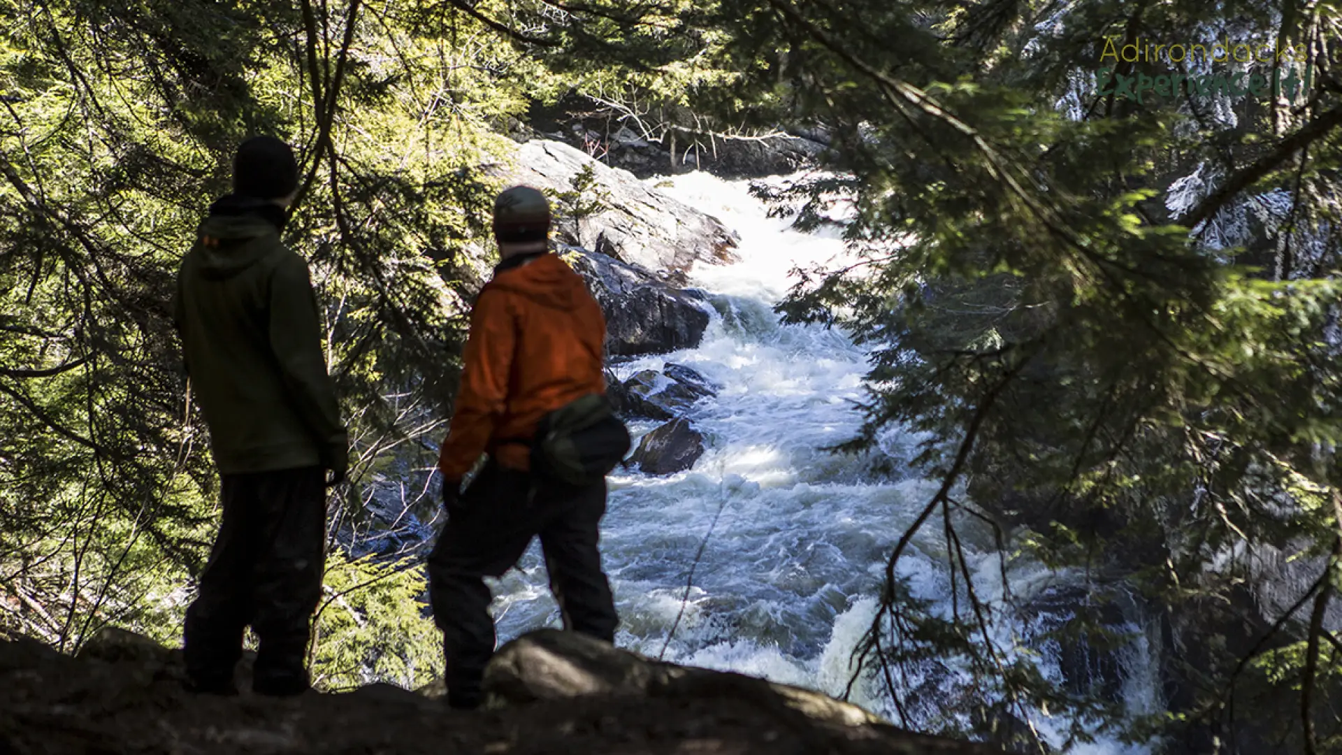
The beginning passes through old farm land as indicated by the young forest in the early stage of succession. Soon you will find yourself in a grove of hemlocks. Hemlocks were used in tanning so it is kind of a surprise to find such an impressive stand so near the tannery; it must have remained untouched. About 1.3 miles from the trailhead you will reach a side path leading to the side of the river, just above Auger Falls. There will be views, but the best views of the falls are from the opposite side and reached via the Auger Falls Loop. Exercise extreme caution along this stretch as the rocks and gorge walls are incredibly slippery, even in low water times.
The path continues for another 2.0 miles to reach the parking lot on Route 8.
Auger Falls in the winter
This trail is great for snowshoeing, and even cross-country skiing. Please be mindful of possibly slippery sections near the river when it's icy, and look out for possible snowmobilers. In winter, the road is plowed all the way to the bridge in Griffin. Make sure you are prepared for all winter conditions, and take care when recreating around running and frozen water.
Experience more trails in Hamilton County
Looking to find some more trails to hike in Hamilton County? With hundreds of miles of trails, we can help you find more amazing hikes in the big outdoors.
How to get there
Western parking: From the intersection of Route 8 and Route 30 in Speculator follow the convergence of Route 8/30 toward Wells. Continue for around 6.5 miles to Old Route 8 on the left. Park here at the bridge.
Eastern parking: From the intersection of Route 8 and Route 30 in Speculator follow the convergence of Route8/30 toward Wells. Continue for around 8.25 miles to the trailhead on the left.
Auger Flats and Falls River Walk
Auger Flats is the name of the quieter stretch of the Sacandaga that winds its way toward the rapids at Auger Falls.